
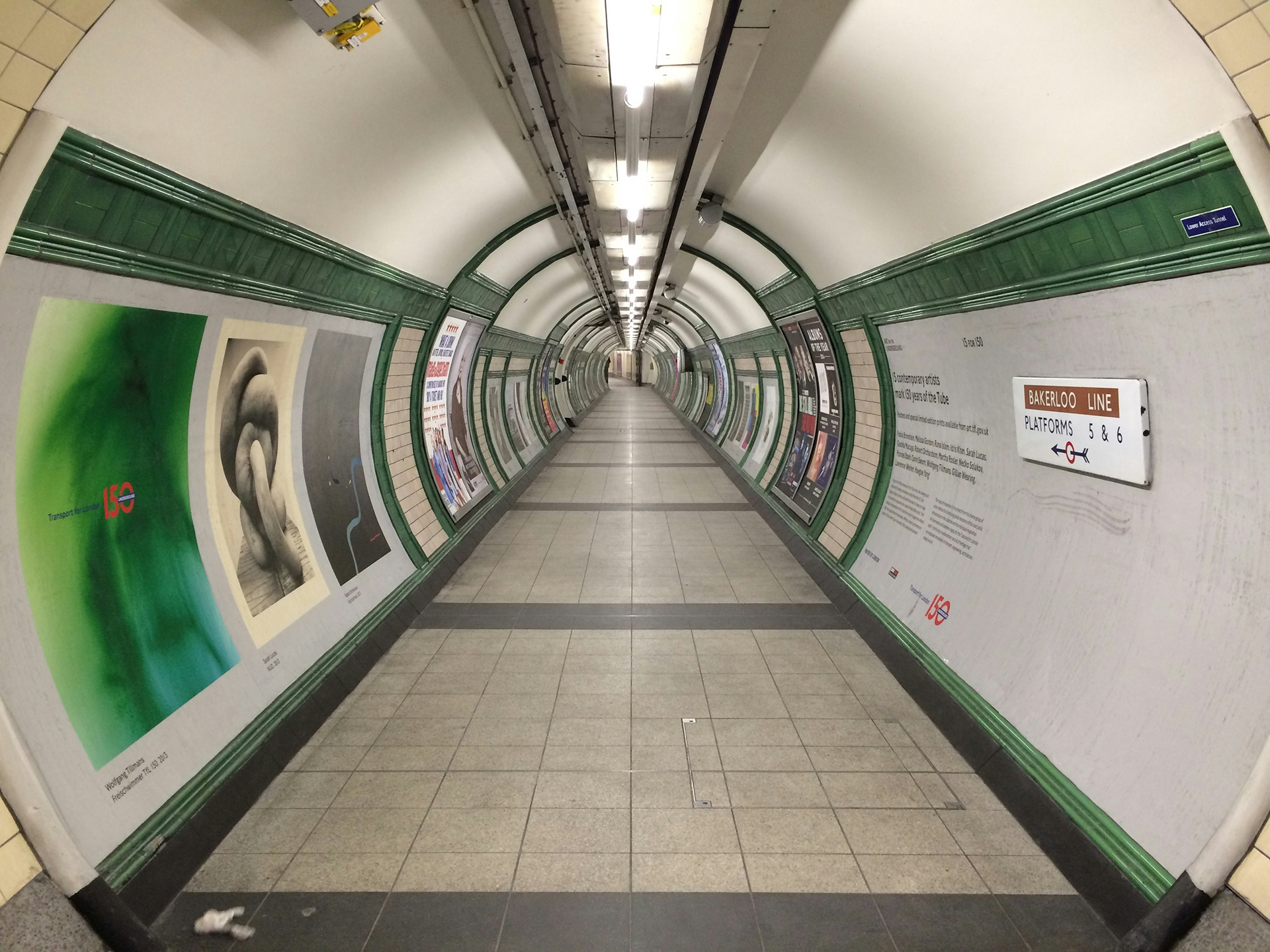
Site View is a unique market offering that combines multiple image and spatial capture technologies to create a highly detailed, interactive digital representation of existing infrastructure.
A secure, browser-based portal is provided to clients, allowing them to remotely access and explore the captured site at any time, without the need for specialist software or additional site visits.
By combining high-resolution imagery, 360° photography, LiDAR/point-cloud data and spatial survey information, Site View provides clients with an accurate visual and spatial record of existing infrastructure.
The platform can be particularly valuable where physical access is restricted, difficult, costly or presents operational and safety challenges. Users can remotely review site conditions, investigate specific areas and obtain spatial information without having to return to site.
Services Provided
360 Imagery - SLAM Scanning - Lidar Scanning
Drone Photography - Photogrammetry