
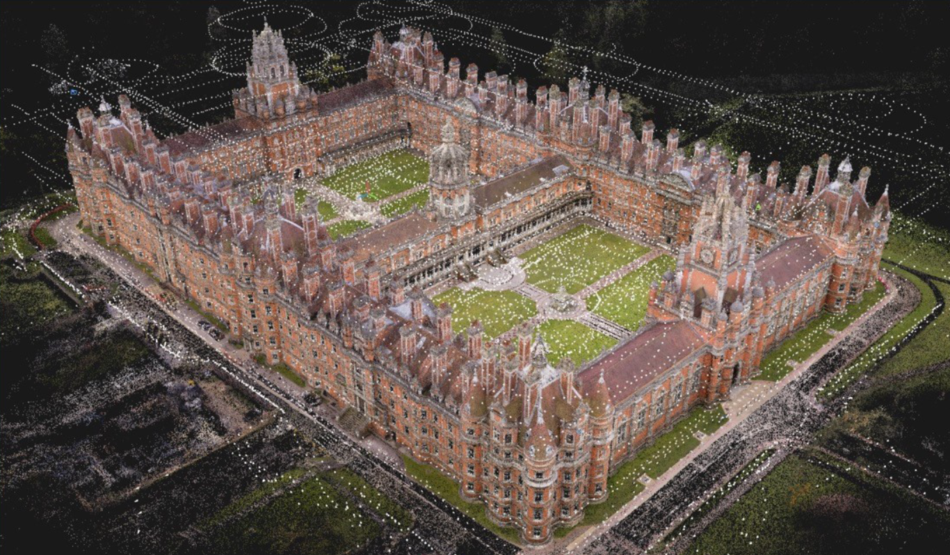
Reality capture combines photogrammetry and SLAM LiDAR to create accurate, detailed 3D models of real-world environments physical contact or disruption to your site.
Using high-resolution imagery and real-time mapping technology, we capture complex or hard-to-access spaces quickly and efficiently, delivering georeferenced models and reliable data to support design, planning, and asset management.